Description
H3 Title: High-Altitude 3D Terrain Scan: The Perfect 3D Model Download for Your Design Needs
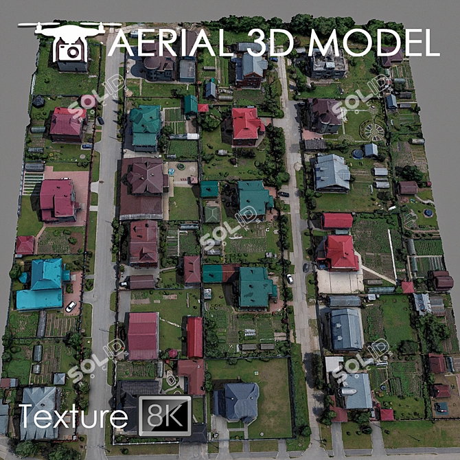
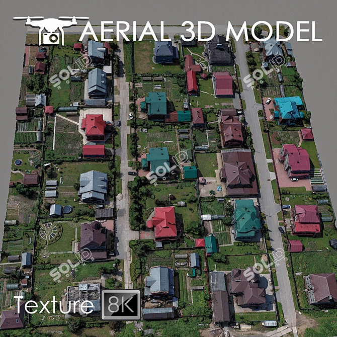
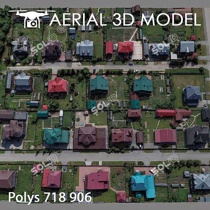
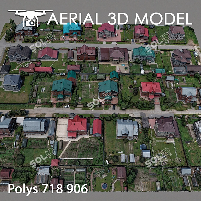
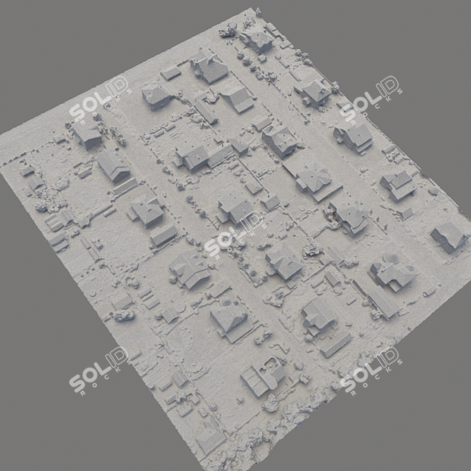
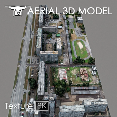
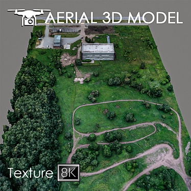
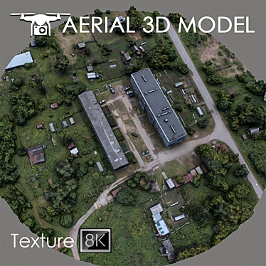
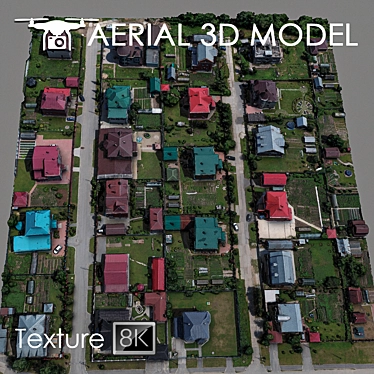
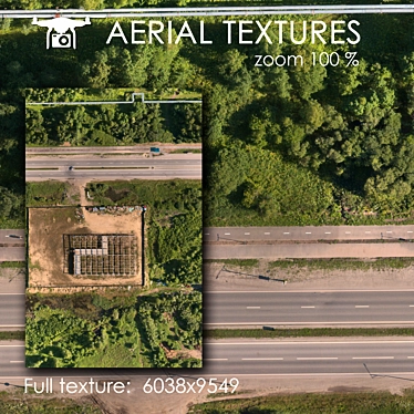
Are you looking for a top-notch **3d model** to enhance your **3d design** projects? Look no further! Introducing our high-altitude 3D Terrain Scan, captured at an impressive height of 60 meters using a quadcopter.
Description:
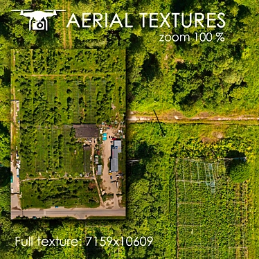
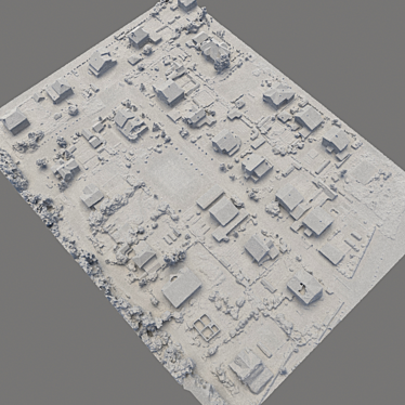
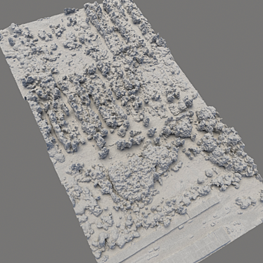
Our meticulously created 3D model is a versatile piece of art, perfect for ***3d interior*** designers, architects, and anyone involved in **3D design**. With one Edit Poly and a texture scan of 8192x8192 resolution, our **3d model** exhibits remarkable detail and accurately represents the landscape based on real photographs.
Bring your visualization to life with our realistic and immersive creation - ideal for** 3d room design** and visualizing master plans. The model's intricate details and unique features of the terrain will surely impress your clients and add a touch of excellence to your **3D interior decor**.
To ensure optimal customization, we recommend editing the model using the Slice modifier, allowing you to effortlessly cut and adjust it to your desired areas. Whether you require distant shots for previews or a stunning background filling for your **3D home design**, our **3ds Max** compatible model is the perfect fit.
Don't miss out on this amazing opportunity. Download our exceptional **3d model** from 3DSKY today and unlock the true potential of your designs!
H3 Title: Why Choose Our High-Altitude 3D Terrain Scan?
When it comes to finding the perfect **3d model** for your design projects, our high-altitude 3D Terrain Scan stands out from the rest.
1. Unmatched Realism and Detail: Our model is based on real photographs, ensuring an unparalleled level of accuracy and realism. Each element of the terrain has been faithfully recreated to showcase its unique features and details.
2. Versatile Applications: Whether you are working on **3D interior** design, **3D room design**, **architectural projects**, or **visualizing master plans**, our **3ds Max** compatible model is the perfect asset for your needs. Seamlessly blend it into your designs and witness the transformation.
3. Easy Customization: The Slice modifier allows you to effortlessly cut and edit the model to suit your specific requirements. Enjoy full control over the areas you want to highlight or modify, giving you the freedom to create stunning visuals.
Get your hands on our exceptional high-altitude 3D Terrain Scan today and take your **3D design** to new heights. Download now from 3DSKY for an unrivaled **3D model** that will leave a lasting impression.