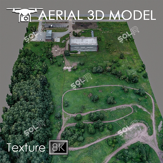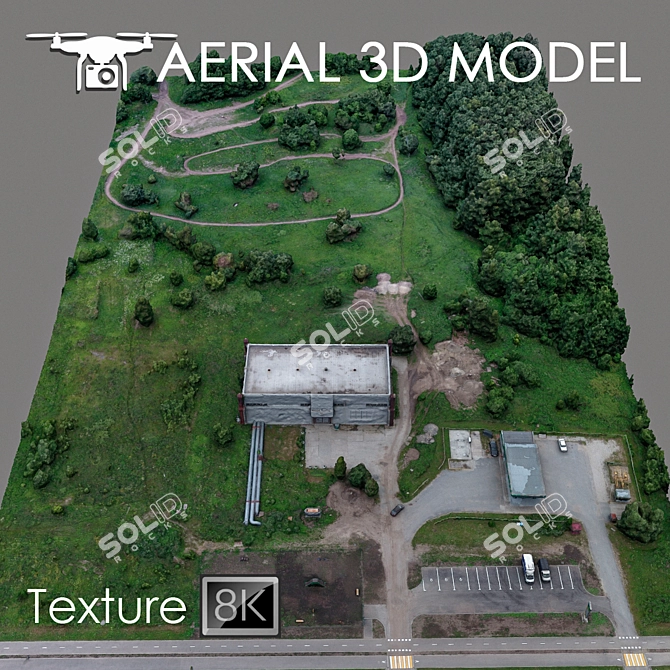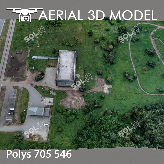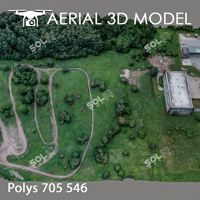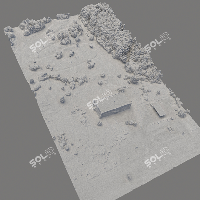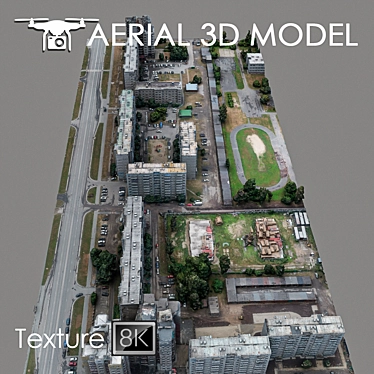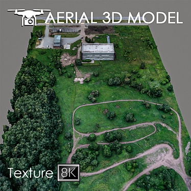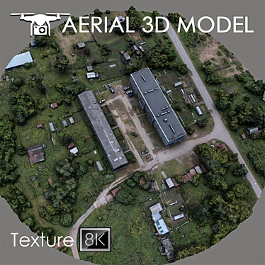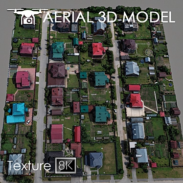
Are you looking for a high-quality 3D model download to incorporate into your next design project? Look no further than our Aerial Landscape Scan Model. This remarkable 3D rendering was created using advanced technology and provides an incredible level of detail and realism.
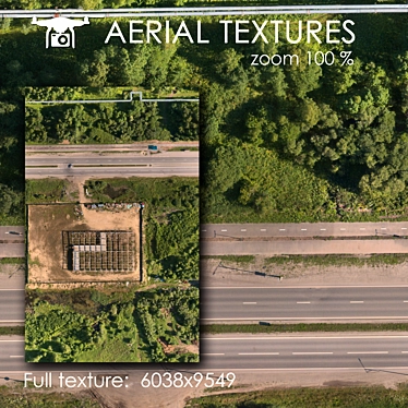
Our Aerial Landscape Scan Model is a meticulously crafted 3DS Max model that captures a stunning 3D interior view of the landscape. Created using real photographs captured from a quadcopter at the height of 60 meters, this 3D room design model offers an authentic representation of the terrain.
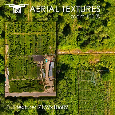
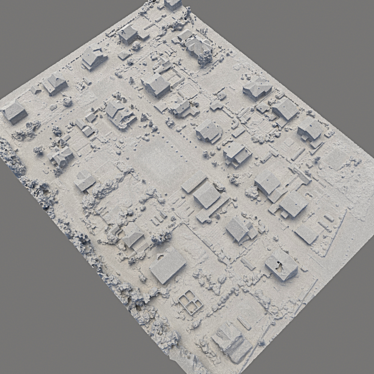
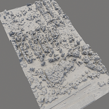
The model includes one Edit Poly with a texture scan featuring a remarkable resolution of 8192x8192 pixels. Whether you are working on a master plan, 3D interior decor project, or simply need a captivating background for your designs, this model is the perfect fit.
To ensure optimal customization, we recommend utilizing the Slice modifier to easily cut the model into specific areas of interest. The Aerial Landscape Scan Model is compatible with various file formats, including OBJ, FBX, MTL, and V-Ray.
Download this exceptional 3D model today and add a touch of realism to your 3D home design projects, 3D room designs, and more. Please note that this model is best suited for distant shots as a preview, allowing you to showcase your designs with stunning visual effects.
Don't miss the opportunity to elevate your design projects with our Aerial Landscape Scan Model. Get started today and witness the immersive realism that this 3D masterpiece brings to your creative vision.