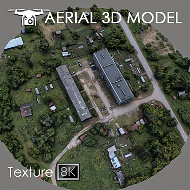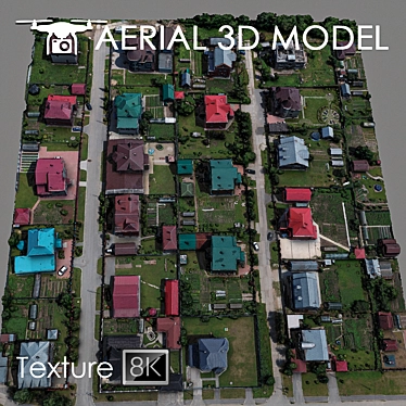
Are you looking for a high-quality 3D model download to enhance your 3D room design or 3D interior decor project? Look no further! Introducing the extraordinary High Altitude 3D Terrain Scan model that will bring your design vision to life.
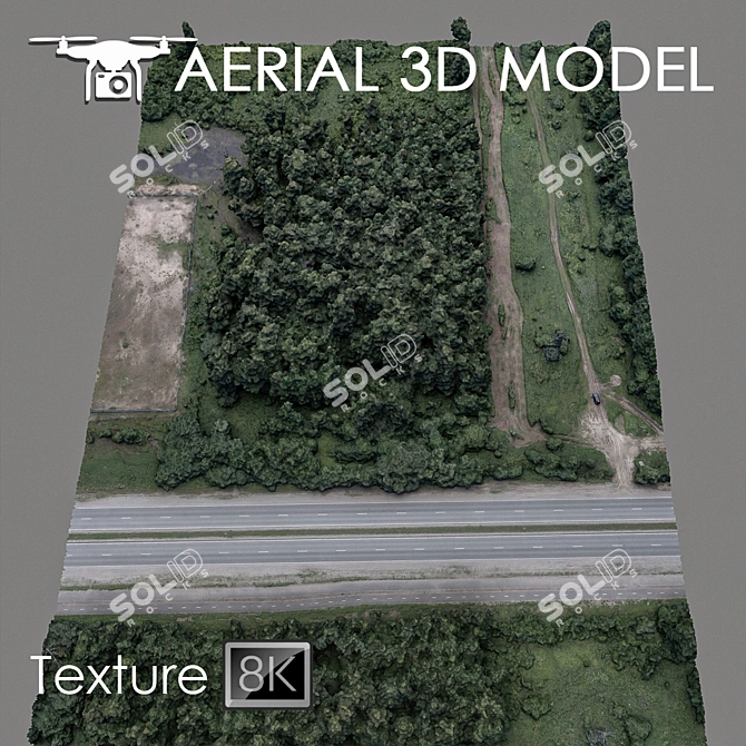
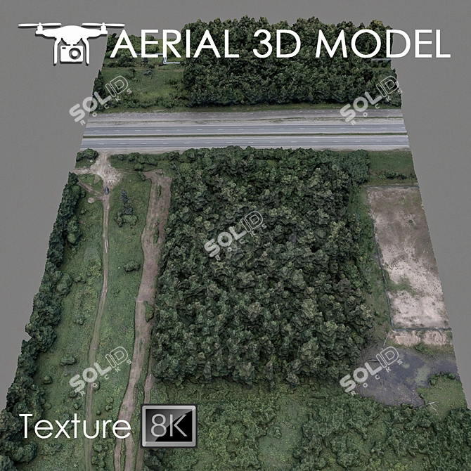
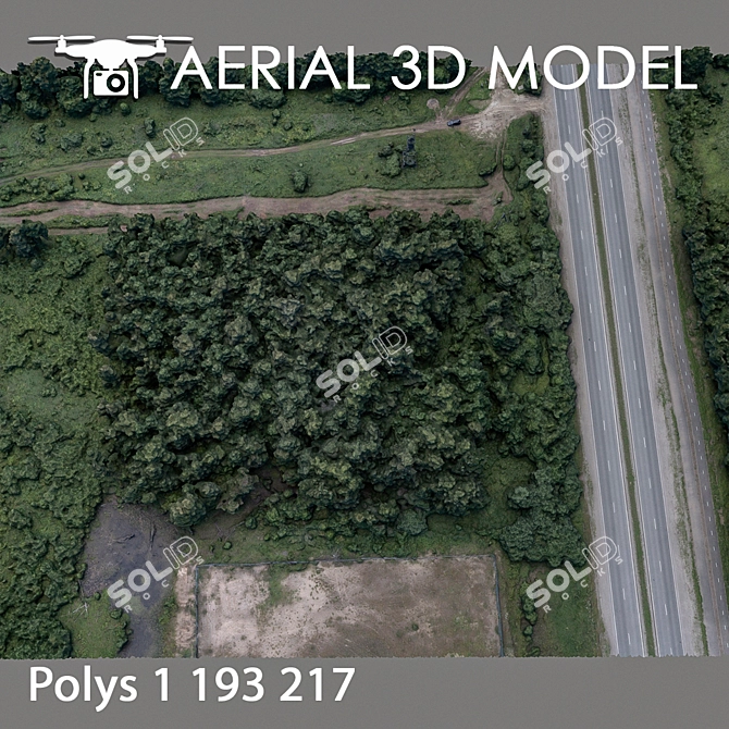
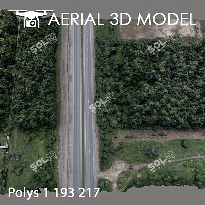
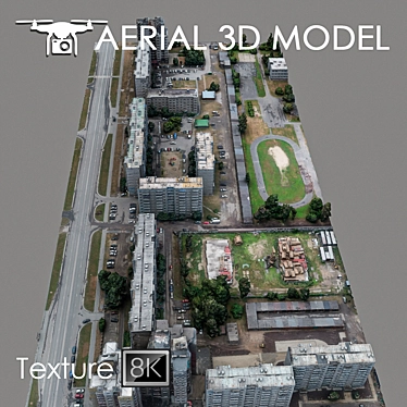
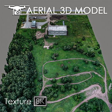
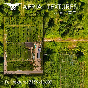
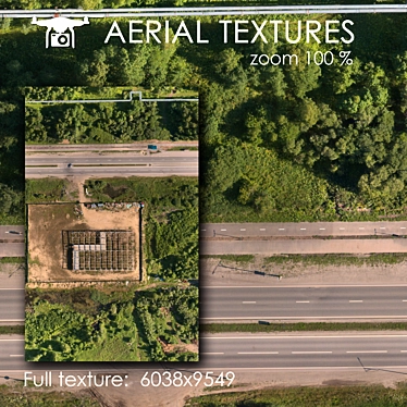
Featuring a detailed 3D scan of a terrain captured at a height of 60 meters using a quadcopter, this remarkable 3D model showcases the breathtaking beauty of landscapes. With the 3Dsky platform, you can now download this 3ds Max compatible model and add it to your 3D home design or architectural visualization projects.
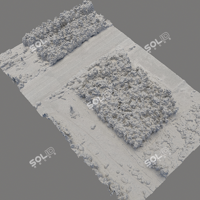
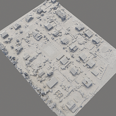
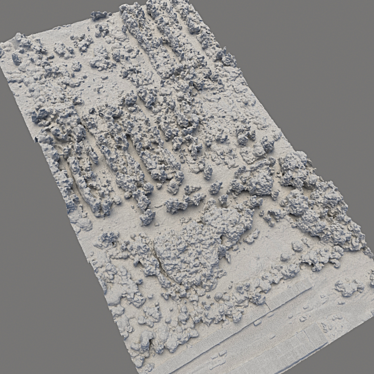
This 3D terrain scan contains an Edit Poli with 1 high-resolution texture scan, measuring an impressive 8192x8192 pixels. Every detail and feature of the real landscape has been meticulously captured, allowing you to create stunning master plans and visually captivating backgrounds.
To suit your specific needs, it is recommended to use the Slice modifier when editing the model. This way, you can effortlessly cut the model into desired areas, ensuring seamless integration within your 3D design projects.
With its astonishing level of detail and accuracy, this 3D model is best utilized for distant shots in your visualization previews. Whether you are an architect, interior designer, or simply a 3D enthusiast, the High Altitude 3D Terrain Scan model is an invaluable asset that will elevate the quality of your projects.
Experience the power of 3D design and transform your visions into reality with this exceptional 3D terrain scan model. Download it today from 3Dsky and embark on an immersive journey of creative possibilities.