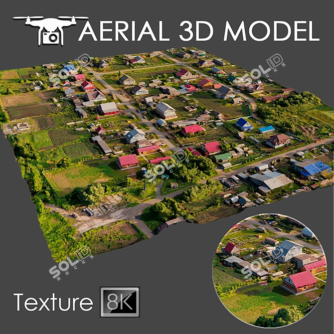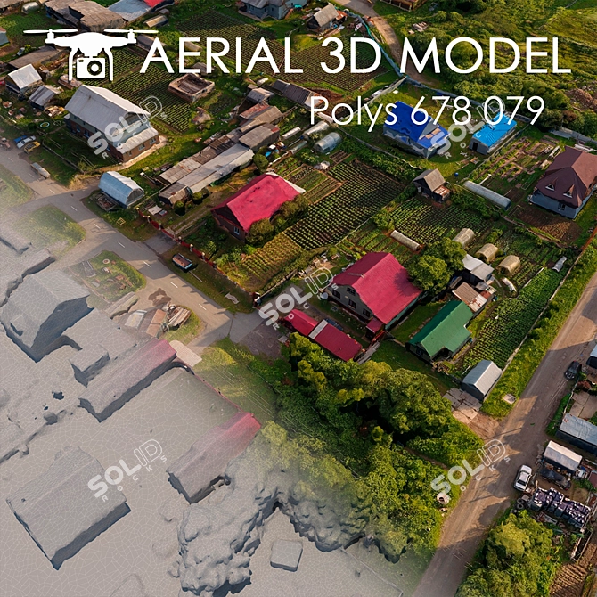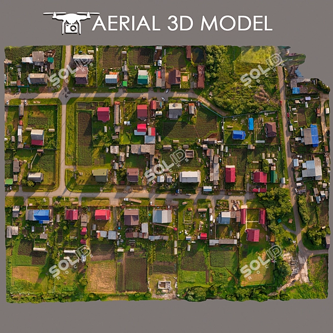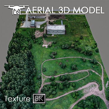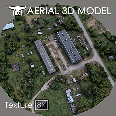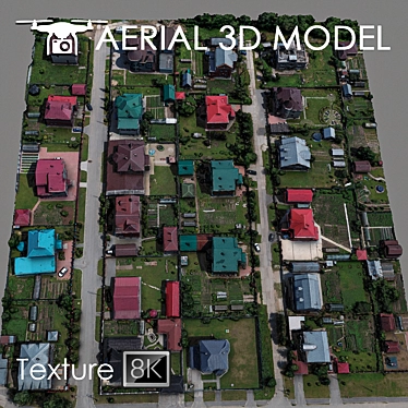
Are you looking for an exceptional 3D model to enhance your 3D designs? Look no further than the Aerial Scan 14 - High-Resolution Drone Terrain Model. This incredible 3D MAX model offers a detailed scan of the terrain, captured by a quadrocopter at an altitude of 60 meters.
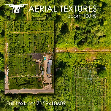
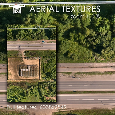
The Aerial Scan 14 model is designed to provide an immersive 3D experience. With its high-resolution texture scan of 8192x8192, this model captures even the smallest details of the landscape. Whether you are visualizing master plans or creating a background fill for your 3D interior decor projects, this model is perfect for bringing your vision to life.
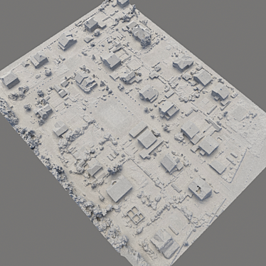
Utilizing real photos as its basis, the Aerial Scan 14 model guarantees accuracy and authenticity. Its intricate details and landscape features make it an ideal choice for anyone working in the realm of 3D design. To customize the model to your specific needs, we recommend using the Slice modifier to trim the model to desired areas.
The Aerial Scan 14 model is compatible with various software, including 3ds Max. Its versatility allows for easy integration into your 3D home design and room design projects. Whether you are an experienced designer or just starting your journey in the world of 3D modeling, this model is a valuable asset for achieving stunning visual results.
Experience the power of 3D technology with the Aerial Scan 14 - High-Resolution Drone Terrain Model. Download the model now from 3dsky and elevate your 3D designs to new heights of artistic brilliance!