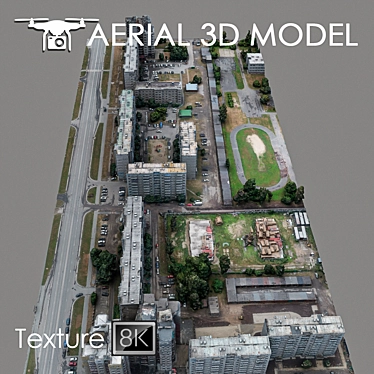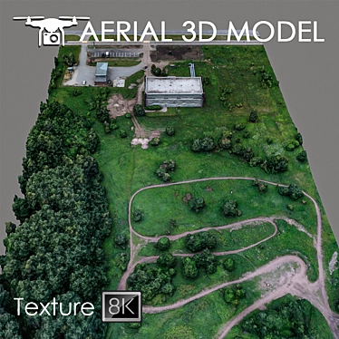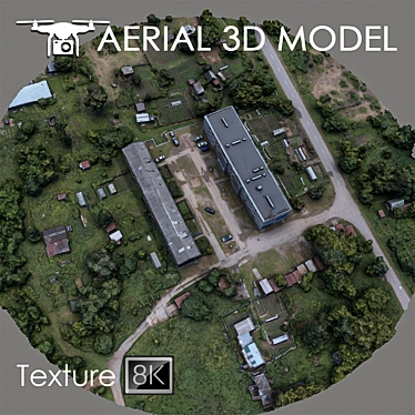
Unlock the power of cutting-edge 3D design with our Industrial Zone Aerial Scan model, available for convenient 3D model download. Developed using 3D Max technology, this intricately detailed 3D model offers a true-to-life representation of terrain, perfect for architects and designers seeking realistic 3D room designs and interior decor visualizations.
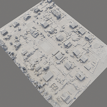
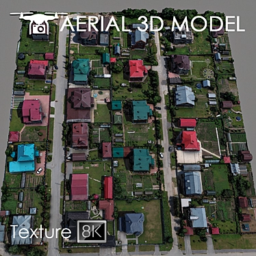
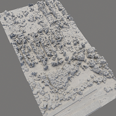
Our 3D model captures the essence of industrial landscapes with impeccable precision. A 3D terrain scan was performed using a quadcopter at a height of 60 m, resulting in a meticulously crafted 3D model based on real photographs. The model features numerous details and landscape characteristics, ensuring an authentic visualization experience.
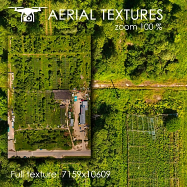
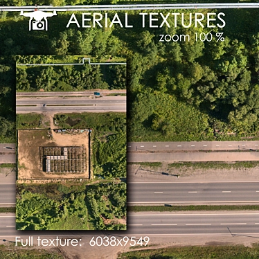
The Industrial Zone Aerial Scan comes with a seamless 8192x8192 texture scan, allowing for exceptional visual quality when incorporated into various projects. It is particularly suited for use as a background filling in master plans, offering a realistic representation of an industrial landscape.
For enhanced customization, we recommend utilizing the Slice modifier to easily cut the model into desired areas, ensuring optimal adaptability to your specific needs.
This 3D Max model is ideal for distant shots and previews, providing a captivating glimpse into your envisioned 3D interior designs. Whether you are an architect, designer, or a hobbyist exploring the world of 3D home design, our Industrial Zone Aerial Scan is the perfect addition to your repertoire.
Experience the limitless possibilities of 3D design with our downloadable Industrial Zone Aerial Scan. Explore new dimensions and bring your creative vision to life like never before.