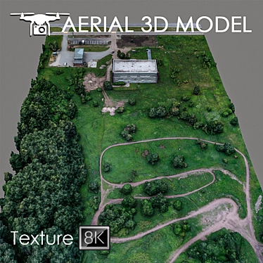
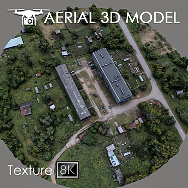
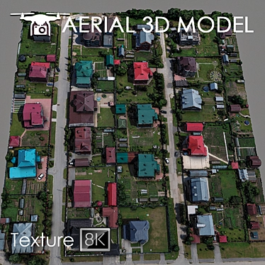
Discover the Aerial Scan 8: High Resolution Terrain Model - Perfect for 3D Design and Visualization
Are you in search of a high-quality 3D model to elevate your interior design and visualizations? Look no further than the Aerial Scan 8: High Resolution Terrain Model. This exceptional quadrocopter-generated model offers stunning details and features of the landscape, providing a realistic representation of real-life terrains.
Powerful Features for Seamless Integration
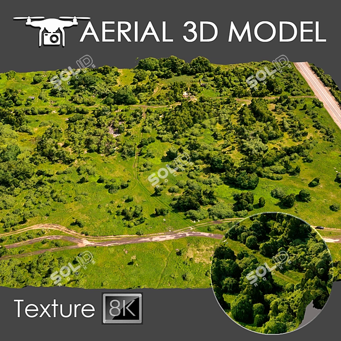
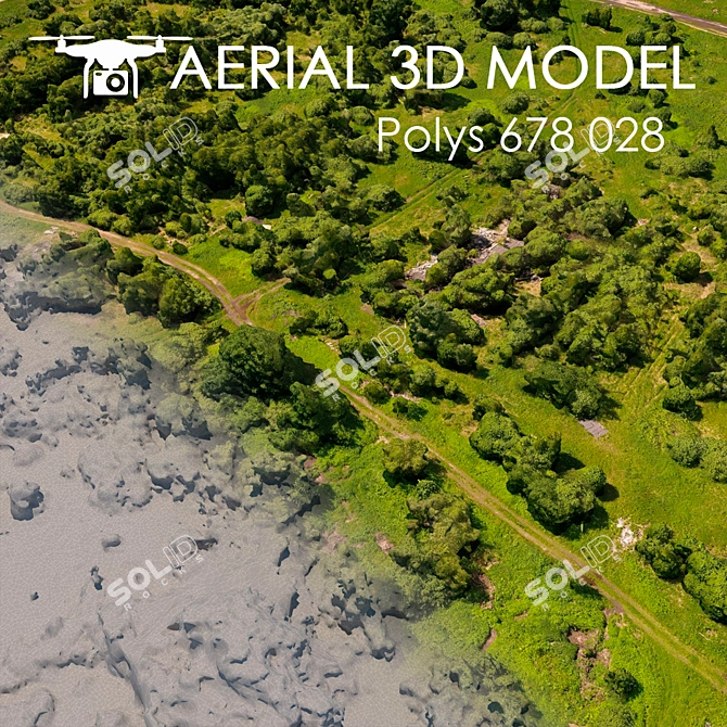
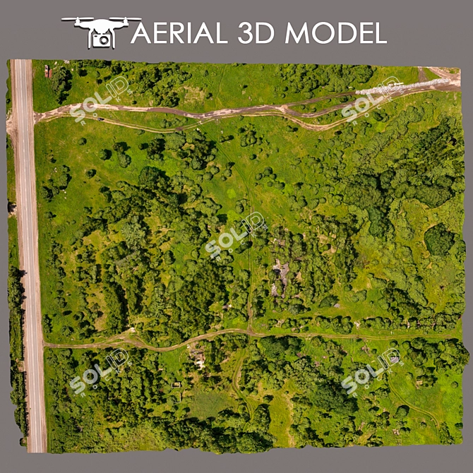
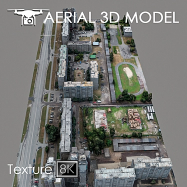
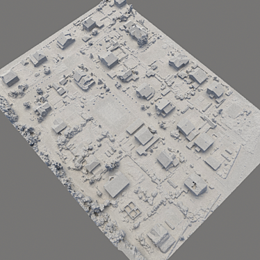
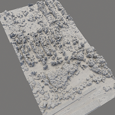
- Realistic 3D Model: Made using a quadrocopter at an altitude of 60 m, this 3D model provides an impressive level of detail and accuracy, perfect for creating captivating visualizations.
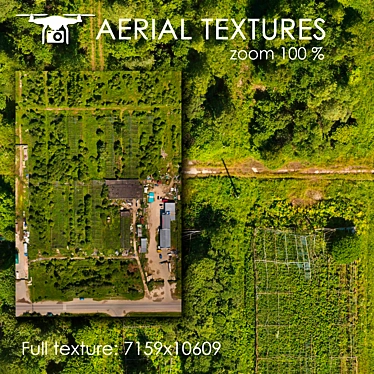
- High-Resolution Texture Scan: With a texture of 8192x8192, the Aerial Scan 8 offers incredibly sharp and crisp visuals, enhancing the overall quality of your designs.
- Seamless Integration: Compatible with 3D design software like 3D Max, this model can be easily imported and incorporated into your projects for a seamless workflow.
- Easy Customization: Use the powerful Slice modifier to customize and trim the model to fit your desired areas, making it perfect for showcasing long-range plans and previewing room designs.
Unlock Endless Possibilities with the Aerial Scan 8
Whether you're an interior designer, architect, or simply a 3D enthusiast, the Aerial Scan 8: High Resolution Terrain Model offers unlimited potential for your 3D design projects. With its realistic textures and intricate details, this model is well-suited for creating captivating room designs, visualizing master plans, or enhancing 3D interior decor.
Download the Aerial Scan 8 3D model now and elevate your projects with this incredible high-resolution terrain model. Don't miss out on taking your 3D design journey to new heights with Aerial Scan 8.