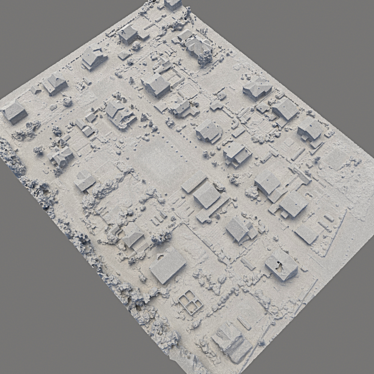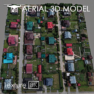
Are you ready to take your designs to new heights? Introducing the Aerial Scan 3D Terrain Model, a game-changing 3D model that will revolutionize your projects and unleash your creativity. With this cutting-edge technology, you can truly bring your vision to life.
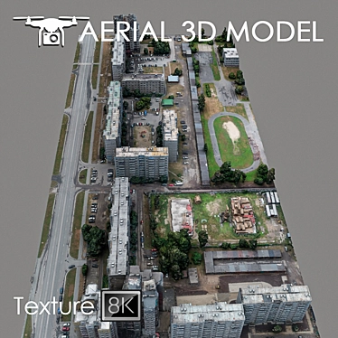
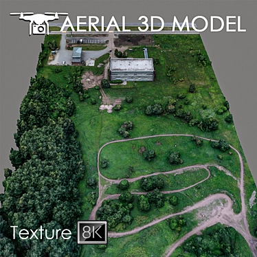
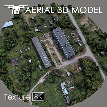
Experience the power of an immersive 3D scan as you explore every nook and cranny of the terrain. Created using advanced quadrocopter technology at an impressive altitude of 60 m, this model offers unparalleled detail and realism like never before.
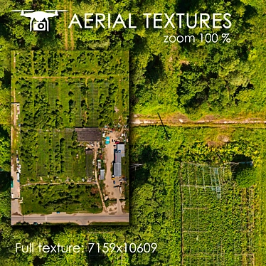
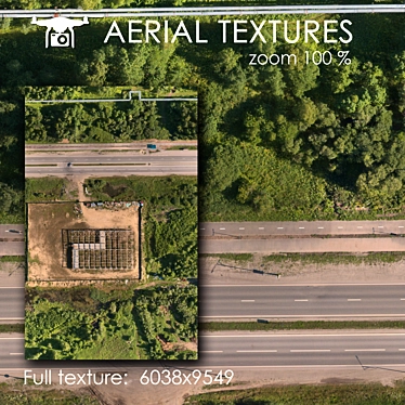
Featuring a meticulously crafted Edit Poli with texture scan of 8192x8192 resolution, this 3D model download captures the essence of the landscape with incredible precision. Every detail, every contour, and every feature of the terrain is flawlessly recreated, giving you an unrivaled level of authenticity.
Whether you're a master planner, an interior designer, or a general enthusiast of 3D design, the Aerial Scan 3D Terrain Model offers limitless possibilities. Its high-quality imagery and attention to detail make it the perfect background fill for visualizing master plans.
Immerse yourself in the world of 3D interior decor as you leverage the model's exquisite details to create stunning room designs. Use it to simulate 3D room designs and explore various interior configurations, ensuring that every aspect of your vision is brought to life with unparalleled realism.
With the Aerial Scan 3D Terrain Model, customization is a breeze. We recommend utilizing the Slice modifier for effortless trimming of the model to your desired areas. This flexibility allows you to focus on what truly matters, providing you with the freedom to showcase your creativity and highlight specific aspects of the terrain.
Perfect for long-range plans, the Aerial Scan 3D Terrain Model serves as an invaluable preview tool. Whether you're planning a dream home, designing a vibrant cityscape, or exploring environmental changes, this versatile 3ds max model allows you to visualize your ideas with breathtaking realism.
Experience the future of 3D home design and elevate your creations to unprecedented heights. The Aerial Scan 3D Terrain Model is your gateway to a world of boundless possibilities and unmatched realism. Don't just dream it - make it a reality